Palomar High Point. 10/8/12
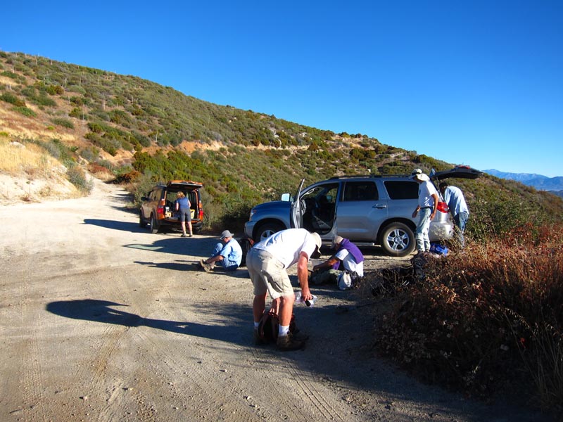
After driving 7.5 miles on very narrow and steep but mostly paved road we are at the trailhead.
First stop is Mariah B.M.
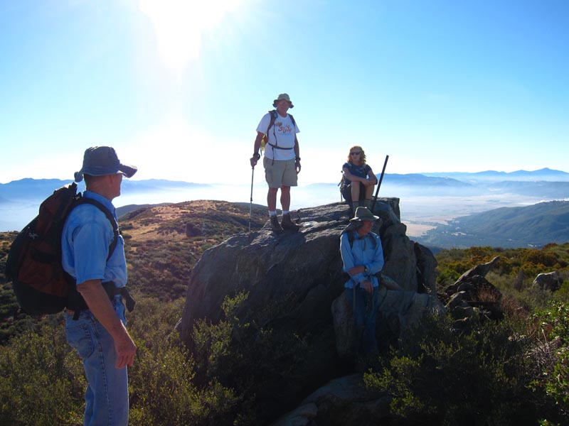
This is easy so far.
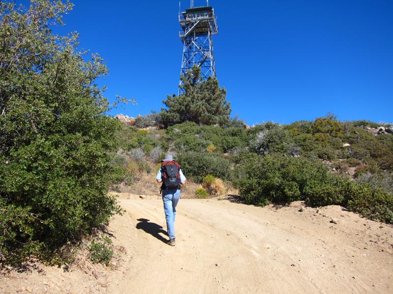
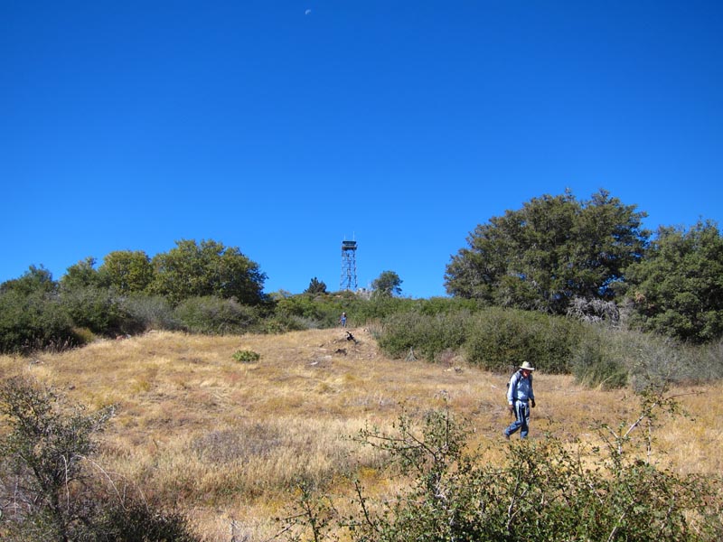
Closed watchtower.
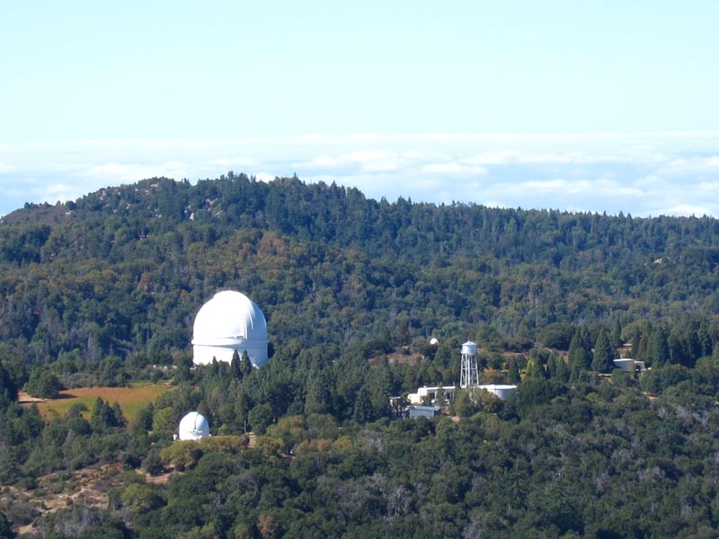
Palomar telescope that is still one of the biggest.
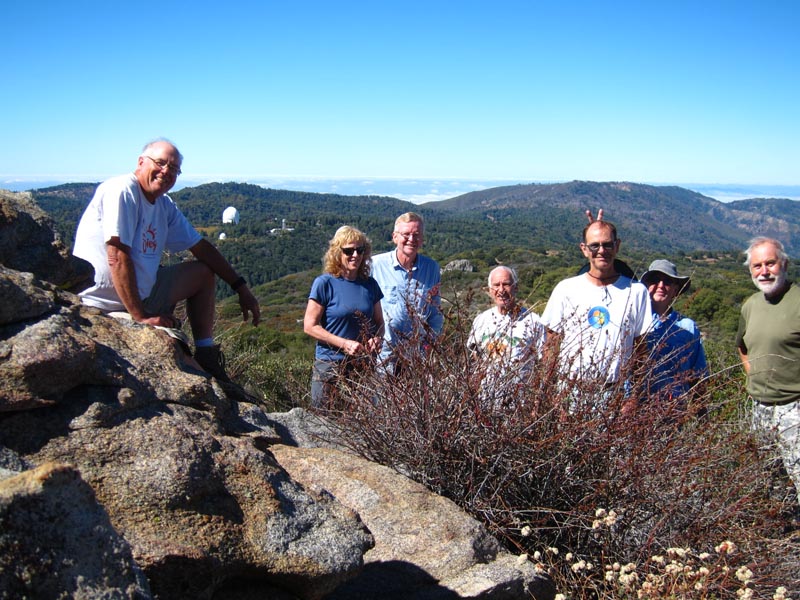
Our group picture while we are all together
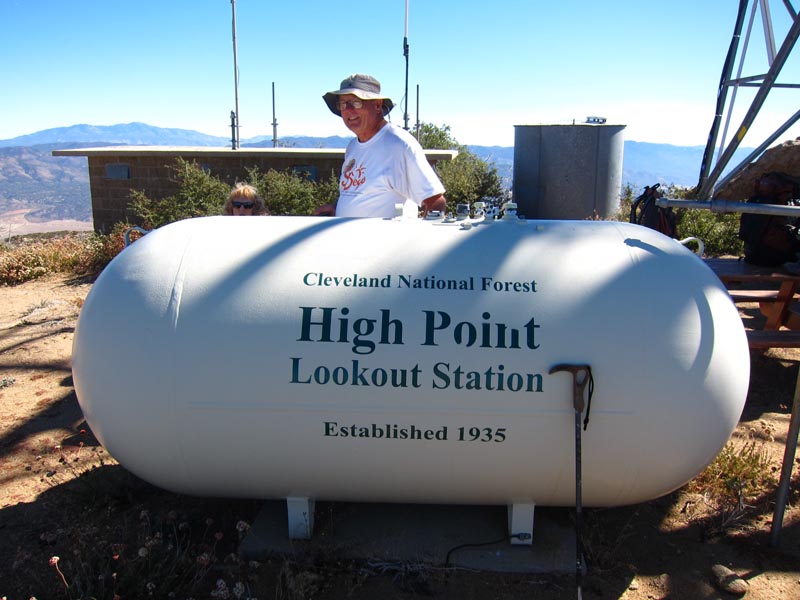
6140’ high.
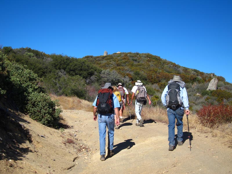
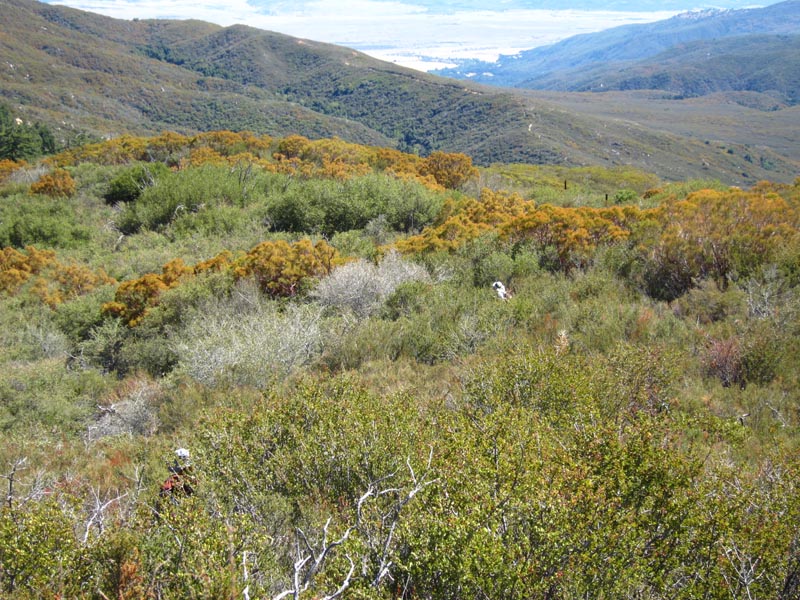
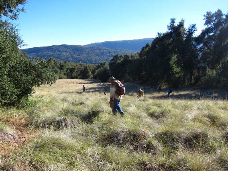
From High we are going low to Barker Valley.
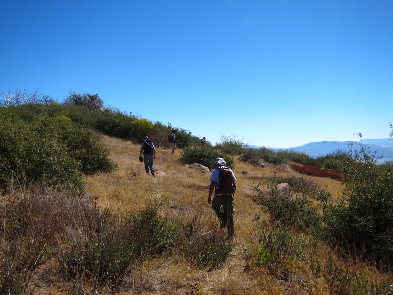
Easy going.

Here is a gate so there must be a trail down.
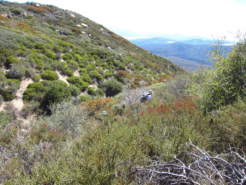
Where is that trail?
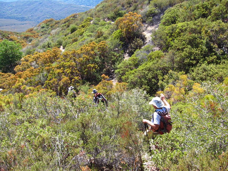
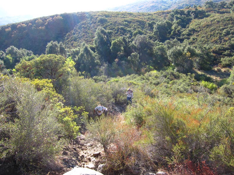
This maybe that trail but there are many dead ends everywhere.
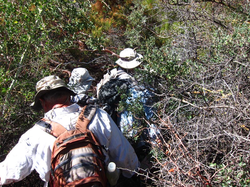
Here is one dead end but we must get thru. Vit is good at it.
No trail here.
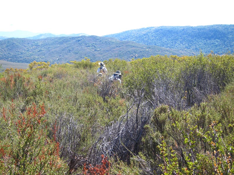
My arms are burning from all these scratches.
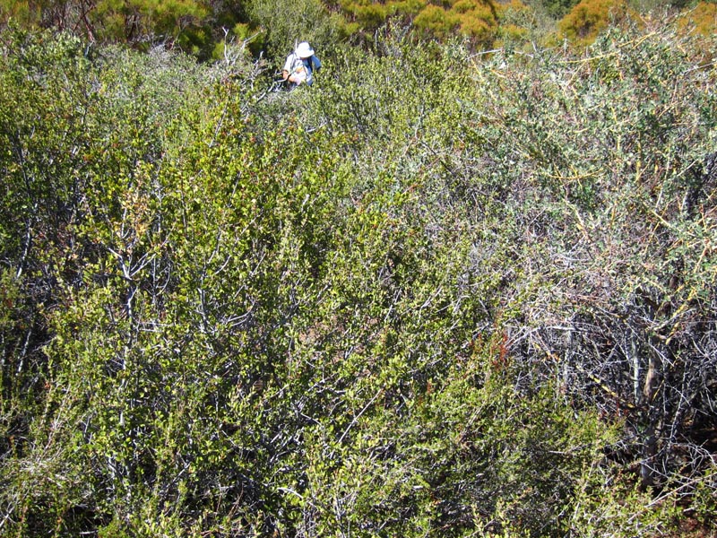
John stays behind, not even his gps can find a way thru.
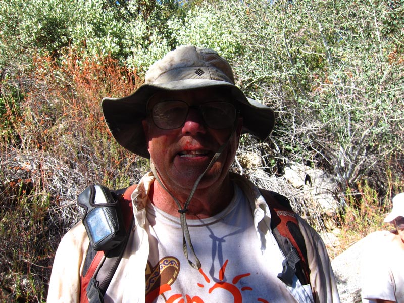
After fighting with heavy brush John emerges.
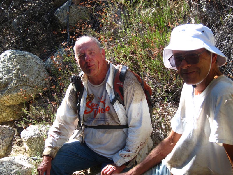
It took him 30 minutes to fight thru 50 yards of brush.
Nice clearing for a change but we are not out yet.
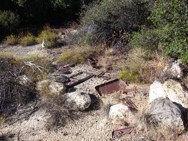
There are even remains of some house but how did they get here (people).
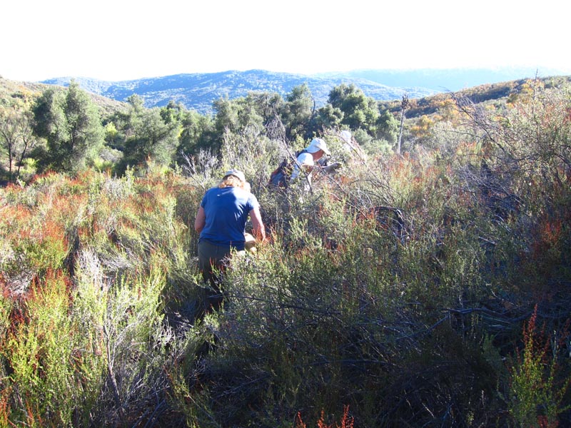
Still more hard work ahead.
This looks like almost trail.
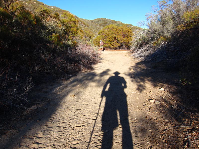
Finally on a trail. What a relief.
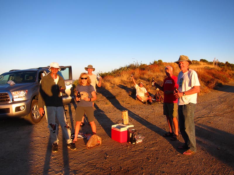
It is a time to celebrate we all made it!
Hike Rating: Difficulty: 4 Technical: 4 Scenic: 3.3 El. 2300' 11 Mi